River and Mills Route
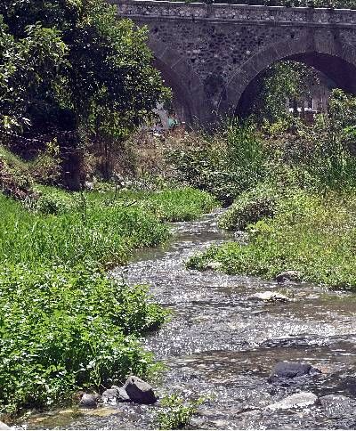
Opposite Árchez Town Hall, we walk down Calle Fuente Río Turvilla to the river. This is where the trail for this route begins; the little bridge over the stream is very pretty. After passing an old mill, we go around a bend and a little further on, we cross the stream among oleanders. […]
La Vega Park
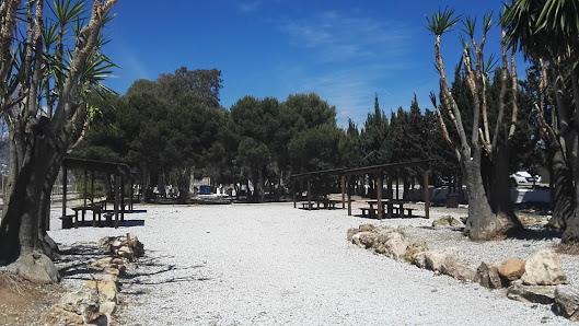
Recreational area with toilets, barbecues, tables and seats and recreational games.
Mouth of the Algarrobo River
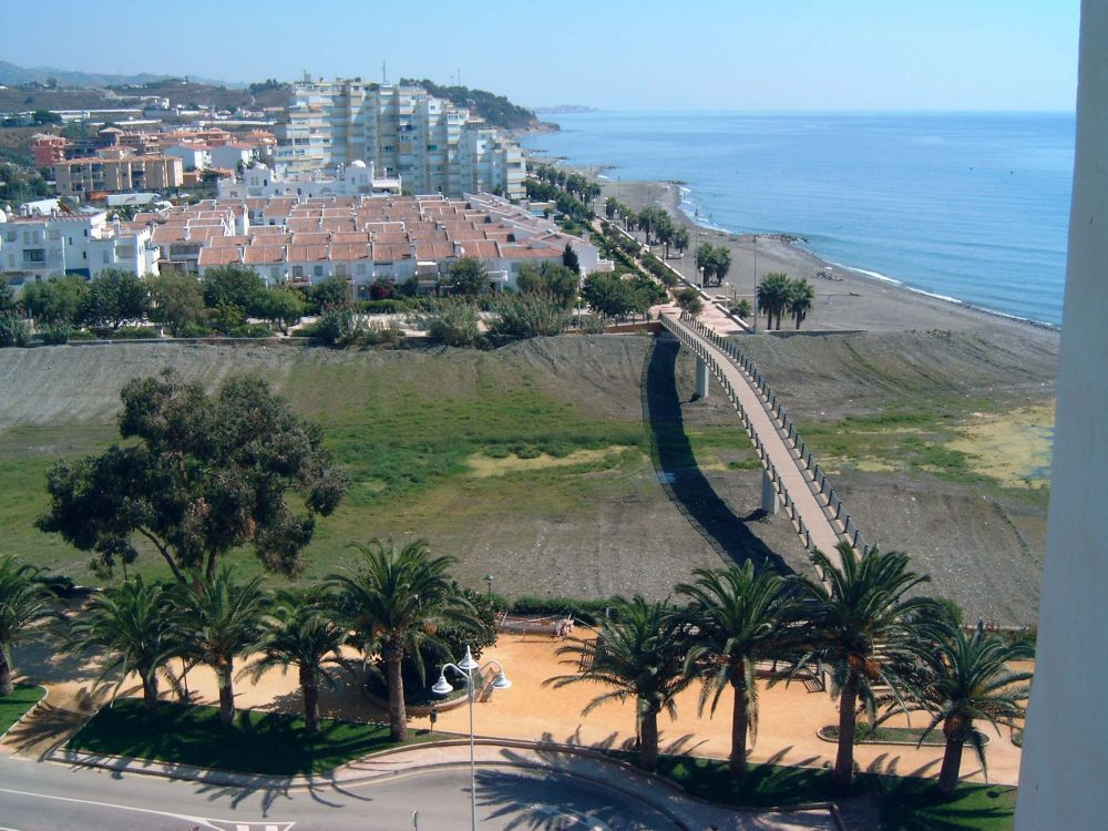
Paseo Marítimo, Algarrobo Costa
Gran Senda de Málaga (Stage 10): Pulgarín Alto - Alfarnate
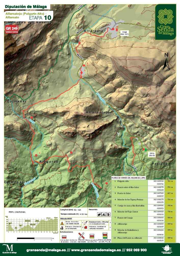
This route describes a large counterclockwise arc between Pulgarín Alto, a hamlet of Alfarnatejo, and Alfarnate. As you wander along, you will pass the rocky mass of the Tajos de Doña Ana y Gomer on your right and dry fields and olive groves on your left, until you reach […]
Tajos de Gómer, Doña Ana and El Fraile
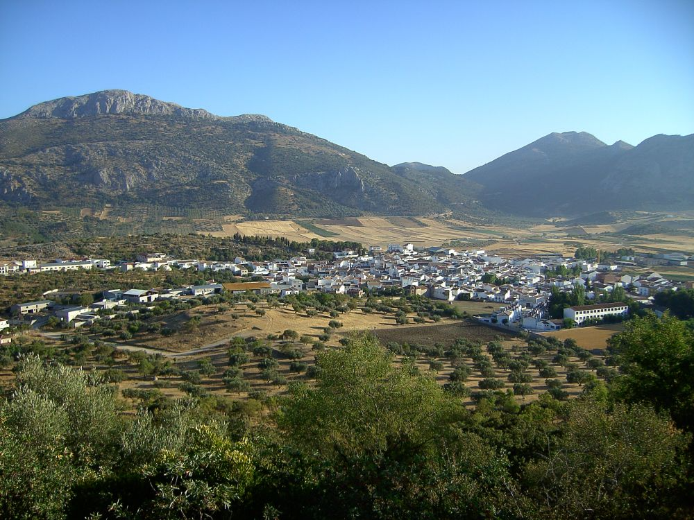
The most spectacular cliffs in the province of Málaga are located in the Alfarnatejo area: Gómer, Doña Ana and Alto del Fraile. To the south, at Tajo Gómer, at an altitude of around 1,129 metres, domestic objects have been found which archaeologists date back more than 5,000 years.
Central Limestone Arch Traverse
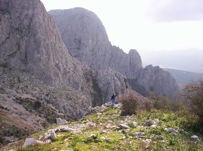
Distance: 40 km / Duration: 12 hours The Central Limestone Arch Crossing is a route through the mountains of Alfarnate, Colmenar, Villanueva del Rosario, Alfarnatejo and Villanueva del Trabuco.
Pico de Vilo Trail
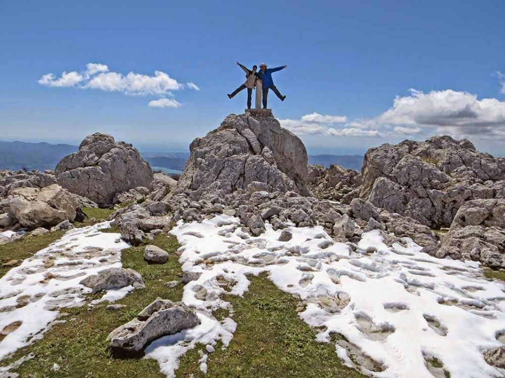
Distance: 11.2 km (round trip – linear route) / Duration: 4 hours / Difficulty: medium-high We begin the route next to the municipal sports centre «El Ejido». We continue along a dirt track for approximately 1 km. In the distance to the right, we can enjoy excellent views of Alfarnate, surrounded by impressive mountains: Sierra de San Jorge, Tajo de la Palomera, Cerro […]
Las Pilas Trail
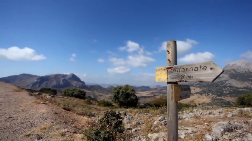
Distance: 12.7 km (circular route) / Duration: 3 hours 50 minutes / Difficulty: medium We take the exit that starts from the Virgen de Monsalud agricultural cooperative; opposite, just to the right, we take a farm track that crosses a vast plain, where there are several irrigation ponds, surrounded by different crops, cereals, legumes and vegetables, and on the right we can see […]
Las Morillas Forest Trail
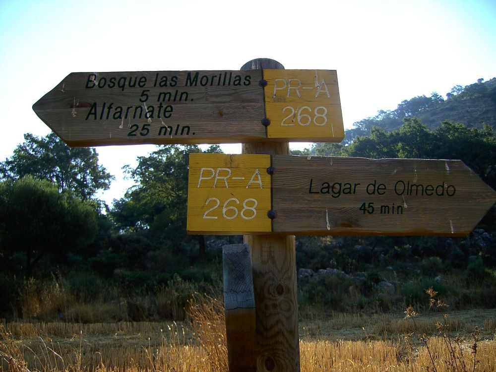
Distance: 5.3 km (circular route) / Duration: 1 hour 45 minutes / Difficulty: low-medium We begin the route next to the municipal sports centre “El Ejido». We continue along a dirt track for approximately 1 km. In the distance to the right, we can enjoy excellent views of Alfarnate, surrounded by impressive mountains: Sierra de San Jorge, Tajo de la Palomera, Sierra […]
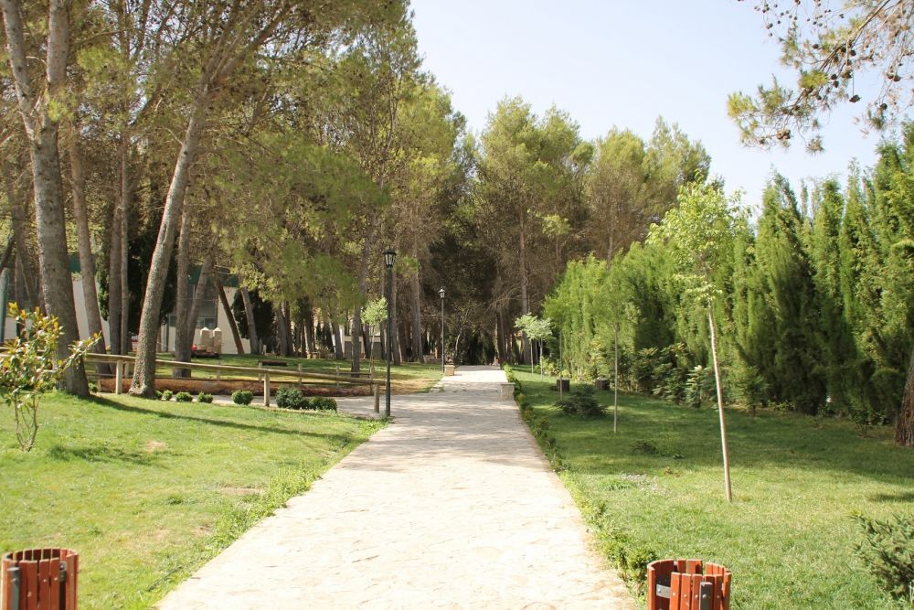
El Ejido Park
 English
  Spanish
  French
  German