Landscape of Árchez
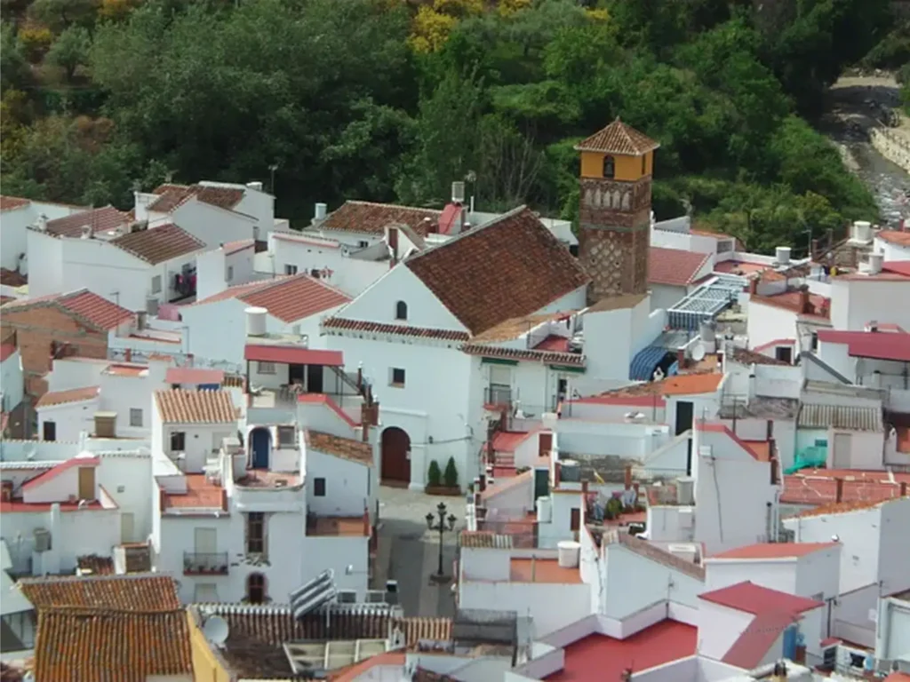
Árchez is, like its municipality, a small but charming village, hidden at the foot of the mountains between Cómpeta and Canillas de Albaida and located on the banks of the Sayalonga River in the north-west of the Axarquía region. Vines and olive trees cover the hills surrounding the village, while in the valley the […]
Almáchar Campsite
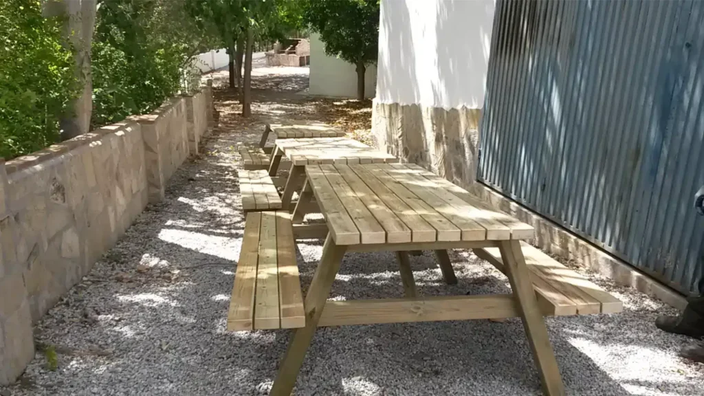
Municipal campsite for the celebration of open-air events, with wooden tables and stools and a barbecue. For all citizens who request it.
Forfe Gardens
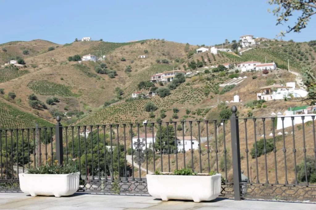
From this spot, which has been restored for tourists, you can enjoy a panoramic view of the southern part of the municipality, bordered by the Almáchar River. You can also see the entrance to the Cueva del Moro cave. According to legend, this cave contains a treasure hidden by the last Moors before they fled after the Christian invasion.
Maria Zambrano Park
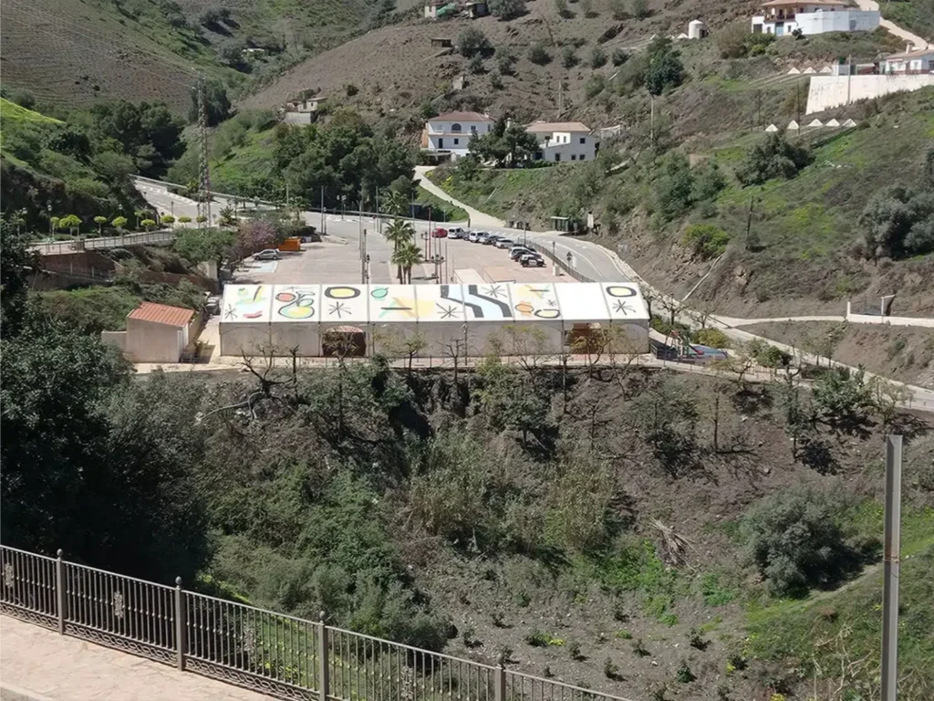
In this park different activities take place, such as cultural events, concerts during the fair in honour of the Virgen del Amparo and other activities like the last one we have had, such as the carnival. It also has a playground where children can have fun playing.
Landscape of Almáchar
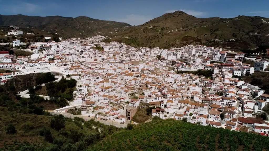
Almáchar is located on a hill between the rivers of El Borge and Almáchar, in the Montes de la Axarquía. Surrounded by vineyards, olive groves and cereal fields, it stretches from the hill of the Almáchar River to the Vallejo peak. The landscape is dotted with farmhouses and grape drying racks, as well as […]
Alfarnatejo Landscape
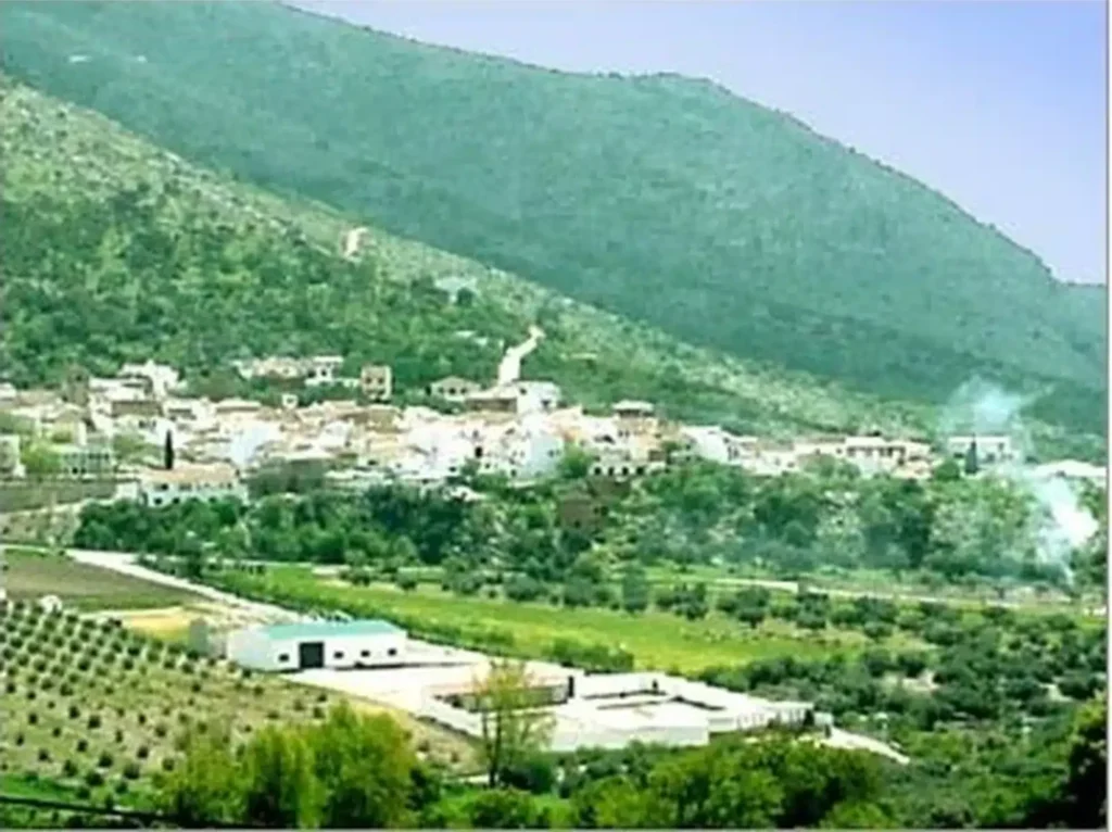
Arriving in Alfarnatejo via the road that crosses the Sabar River gorge is like entering a mountainous landscape of rocky ranges. Upon exiting the gorge, a small depression offers travellers a respite, but the mountains remain ever-present. Ahead, the Sierra de Camarolos range with Pico Chamizo (1,637 m) marks the horizon towards […]
Ejido recreational area
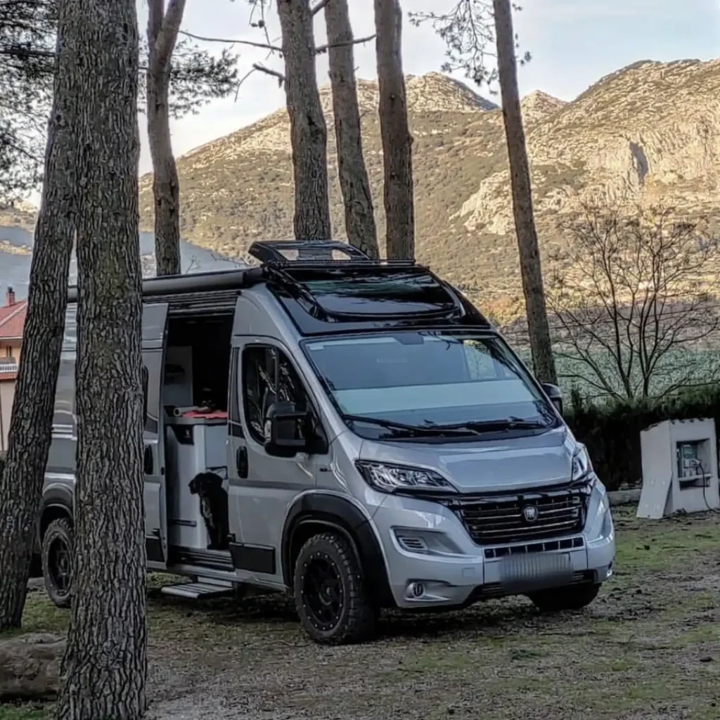
This is a free camping area located next to the Alfarnate Municipal Sports Centre, in the Los Pinos area of El Ejido. It has approximately 10 spaces for motorhomes and electricity points. To use the facilities, simply contact the Town Hall offices […]
Tajos del Alcázar
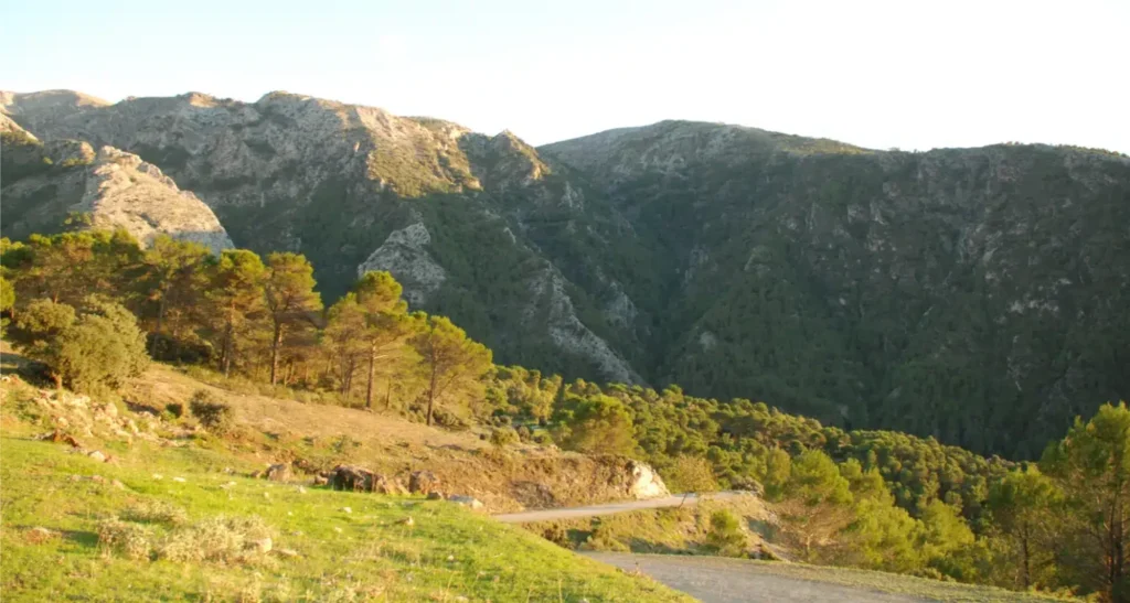
Los Tajos del Alcázar, declared a Natural Monument on 14 January 2012, are located in the Sierra Tejeda, Almijara and Alhama Natural Park, in Alcaucín. This group of geological formations includes the Tajo de El Fuerte, with a drop of more than 170 metres and a length of 500 metres. The area, inaccessible to the […]
El Alcázar Recreational Area
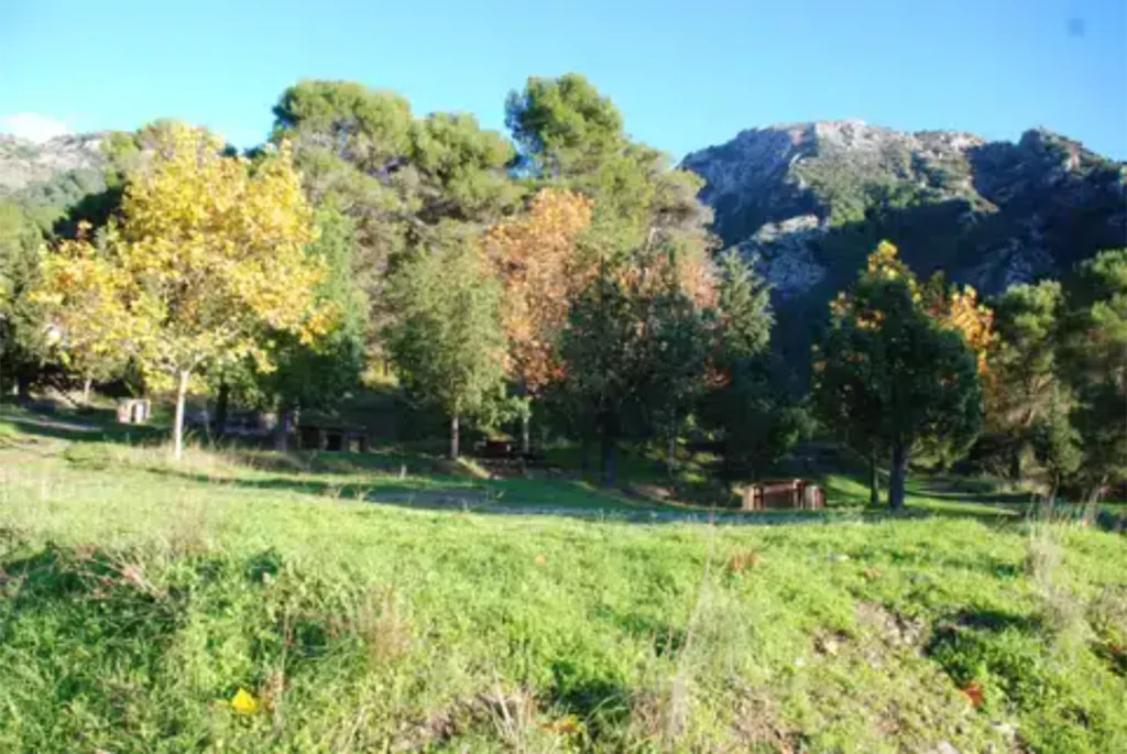
A spot located in the heart of the Sierra Tejeda mountains. A must-see on some of the walking routes that lead to the peak of La Maroma, the highest point in Malaga at 2,068 metres, with excellent facilities for spending a day in the countryside. It is a recreational area located on the banks of the Alcaucín River. The […]
Sierra Tejeda, Almijara and Alhama Natural Park
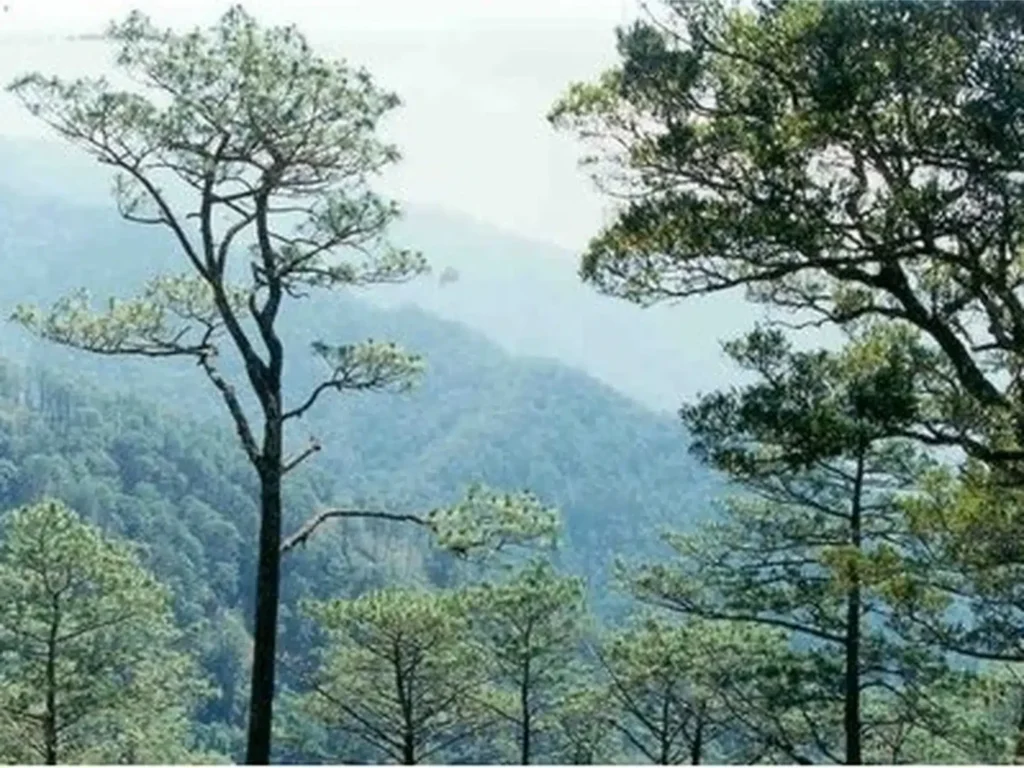
Sierra Tejeda has rugged terrain ranging from 2,068 metres at La Maroma to 200 metres at Puente Don Manuel. In the area of «El Alcázar», you can enjoy a route that starts in Alcaucín and passes through «Cortijo del Alcázar», «La Cerca», «La Loma de las Víboras» and [...]
 English
  Spanish
  French
  German